


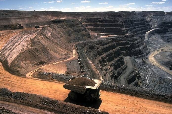
ISLAMABAD: The Geological Survey of Pakistan (GSP) would map 50 toposheets of ‘outcrop area’ in Balochistan so as to identify the province’s mineral potential. The federal government in this regard had allocated Rs20 million under the Public Sector Development Programme (PSDP) 2020-21.
“Under the project, 50 geological mappings of toposheets of outcrop areas of Balochistan, out of 354 unmapped toposheets, will be carried out,” said an official while talking to APP. “Geological maps provide a bird’s eye view of the surface and (subsurface) distribution of various types of rocks and economic minerals that are found in a particular region.”
Over the next three years, the GSP aims to spend Rs127.595 million on the mapping of outcrop areas, through which it would be able to maintain a database for future exploration of metallic and non-metallic minerals, dimension stones, aggregates and limestone reserves for the industry.
“These maps are essential for all detailed geological works in the future, including mineral exploration, civil engineering, soil surveys, land use, town planning, groundwater, earthquake hazards, environmental geology and soil conservation projects,” said GSP in its project detail.
Worldwide experience suggests that geological maps of 1:50,000 scale provide the most useful information and meet the basic requirements of the majority of demands, involving research in ‘stratigraphy’, structure & tectonics, sample collection for laboratory studies, mineral evaluation and identification of promising areas for further exploration of natural resources.
According to GSP, the total outcrop area of Balochistan is 335,360 square kilometres (524 toposheets), of which 108,800 Sq Km (170 toposheets) have been mapped and published on 1:50,000 scale.
“The promising mineral potential outcrop area will be mapped under this project, following which its gained experience will be used in mapping rest of the outcrop area,” it stated. “For the next fiscal year, the GSP has set a target to fill the posts for the project, collect and review technical data, perform geological mapping of 16 toposheets, measure 32 ‘stratigraphic’ sections, collect field rock samples, do chemical analysis and petrographic studies, besides digitization of geological maps.”
It said the information collected after geological mapping and laboratory testing of rock samples would generate a database for interpretation to lead the individual occurrences of mineral reserves and other natural resources.


